THE HISTORY OF SPACE IMAGING IN REMOTE SENSING
Learn about the evolution of space imaging in remote sensing, from early satellites to modern systems, and its impact on our understanding of Earth.
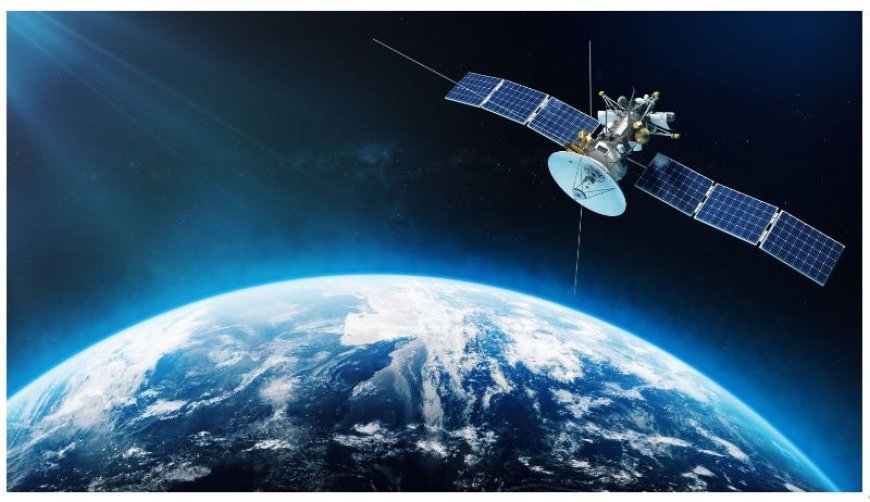
The History of Space Imaging in Remote Sensing
Introduction to Remote Sensing
- Remote sensing is the process of gathering information about items or areas from a distance, typically using satellites or airplanes.
- Objective: This approach facilitates the examination of many phenomena, including meteorological conditions, natural disasters, agricultural trends, and environmental alterations, by scientists.
Advancements in Remote Sensing during its Initial Stages
- Before the era of satellites, aerial photography originated in the 19th century through the utilization of kites and balloons.
- The French photographer Gaspard-Félix Tournachon took the first documented aerial shot in 1858.
- World War II: Aerial photography became prominent during World War II for military reconnaissance purposes.
- The utilization of aircraft fitted with cameras played a crucial role in collecting essential knowledge regarding the locations of the enemy.
The Emergence Of Space Exploration And Satellite Technology:
- The launch of Sputnik by the Soviet Union in 1957 initiated the space age and opened up new possibilities for observing the Earth.
- Earth observation via satellites became possible as a result of this historic occasion.
- The United States launched TIROS-1 (Television Infrared Observation Satellite) in 1960, marking the pioneering launch of an Earth observation satellite that provided meteorological pictures from orbit.
Technological progress
- The Landsat Program, which began in 1972, launched a sequence of satellites with the purpose of observing and documenting changes in Earth's land usage.
- The Landsat satellites have furnished the initial and reliable long-term observational data on alterations occurring on the Earth's surface.
- Advancements in sensor technology have enabled satellites to collect photos using several wavelengths, such as visible light, infrared, and radar.
- These developments enable a more thorough examination of Earth's characteristics.
Modern Uses of Remote Sensing
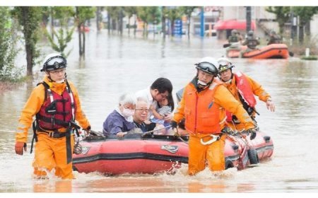
Environmental Monitoring: Remote sensing technology plays a crucial role in monitoring deforestation, assessing the effects of climate change, and detecting natural catastrophes like floods and hurricanes.
Urban Planning: Satellite imaging is employed for urban planning, encompassing the creation of infrastructure and the management of land.
Agriculture: Satellite data aids farmers in monitoring the health of their crops and enhancing agricultural techniques.
Future Prospects in Space Imaging
Emerging Technologies: Advancements in artificial intelligence (AI) and machine learning are greatly enhancing the velocity and accuracy of satellite data analysis.
Miniaturized Satellites: The increasing popularity of tiny satellites, sometimes known as "CubeSats," is making remote sensing more easily attainable since they are affordable and versatile.
Global Surveillance Programs: Upcoming space missions have the objective of providing immediate worldwide monitoring of environmental and climatic changes, therefore improving our capacity to promptly address and control these changes.
What's Your Reaction?


