IMAGE ENHANCEMENT
Discover the image enhancement techniques used in digital image processing, including contrast stretching and spatial filtering.
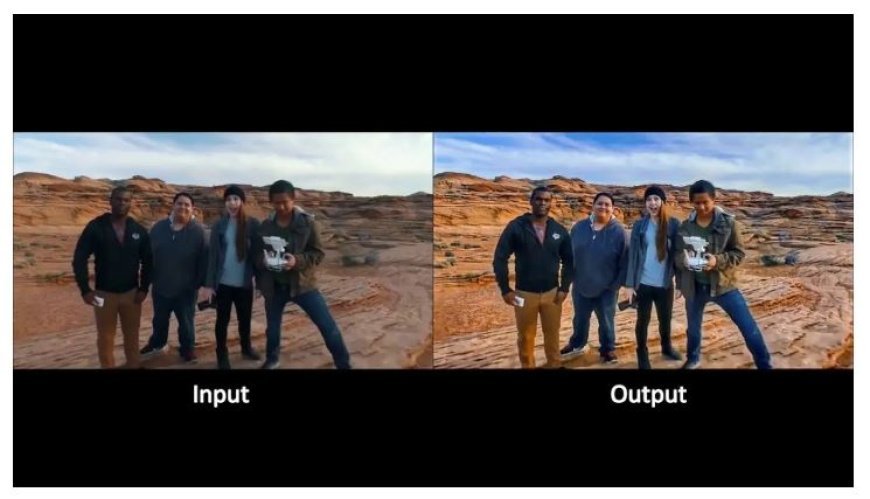
Image Enhancement
- Remote sensing is the collection of data about the Earth's surface from a distance.
- To make the most of this data, image enhancement techniques are used to modify and increase the quality of pictures collected from satellite and aerial sensors.
- These strategies are critical for producing clearer, more understandable outcomes.
- Significance of Image Enhancement
- Improved Clarity and Detail: Enhancing photos improves clarity and reveals hidden features, which is essential for correctly recognizing components like flora, water bodies, and man-made buildings.
- Noise Reduction: Images frequently contain noise, which can hide critical details.
- Enhancement approaches assist to reduce this interference, resulting in more accurate data.
- Feature Extraction: Enhanced photos make it easier to extract and analyze individual characteristics, which helps with tasks such as land-use classification, detecting changes over time, and identifying specific targets.
- Enhanced Analysis: High-quality photos aid in decision-making in areas such as natural resource management, environmental monitoring, and urban development.
- Data Integration: Image enhancement techniques make it simpler to aggregate data from many sensors, broadening and deepening the scope of analysis.
2. Key Enhancement Techniques
- Radiometric Enhancement.
- Contrast Stretching: Changes the range of pixel brightness values to make small changes more visible, resulting in better overall picture contrast and feature differentiation.
- Histogram Equalization: Redistributes pixel brightness levels to boost contrast, which is especially effective for low contrast photos since it improves detail visibility.
- Normalization standardizes picture dimensions and brightness levels, allowing for reliable comparisons of photos taken at various periods or by different sensors.
B. Spatial Enhancement
- Spatial filtering employs filters to decrease noise and improve spatial resolution, either by smoothing out fluctuations or sharpening edges to better characterize objects.
- Edge Detection: Identifies the borders between various features, increasing feature delineation and terrain knowledge.
- Texture Analysis: Uses differences in pixel brightness to distinguish between different forms of land cover, offering significant insights into spatial patterns.
C. Spectrum Enhancement
- Color Composite: Combines photos from different spectral bands to create false-color images that emphasize certain attributes, such as plant health or soil wetness.
- Principal Component Analysis (PCA): Converts picture data into a set of orthogonal components, emphasizing the most important spectral information for easier interpretation.
- The Normalized Difference Vegetation Index (NDVI) evaluates vegetation health by comparing near-infrared and red light, providing information on plant vitality and coverage.
Practical Applications of Enhanced Imagery
- Agriculture uses enhanced photos to monitor crop health, diagnose and manage insect problems, and optimize irrigation and fertilization operations.
- Environmental monitoring: Improved imaging helps to track deforestation, detect pollutants, and assess natural catastrophes like floods and wildfires.
- Urban Planning: Image enhancement techniques help to analyze land use trends, plan infrastructure, and control urban expansion.
- Military and security: Improved image quality helps discover hidden objects and improves surveillance operations.
- Geology and Mining: Enhanced pictures aid in detecting mineral deposits and geological characteristics, which is critical for resource exploration and management.
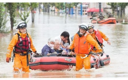
- Disaster Response: High-quality photos give specific information about impacted regions, hence increasing the efficacy of rescue and relief activities.
- Marine and Atmospheric Sciences: Enhanced photography provides essential information on atmospheric conditions, water quality, and ocean currents.
- Remote sensing may deliver more precise, comprehensive, and actionable information using these sophisticated methodologies, allowing it to serve a wide range of applications and decision-making processes.
What's Your Reaction?


