OCEANOGRAPHIC INSTRUMENTS
Oceanographic instruments are Earth science's underwater eyes, probing the depths to reveal geological features and hidden secrets of the seafloor.
0
61
OCEANOGRAPHIC INSTRUMENTS
Features
They include devices such as:
- THERMOMETERS
- FLUOROMETERS
- DEPTH SENSORS
- ACOUSTIC CURRENT METERS
- ECHO SOUNDERS
- TIDE AND TURBIDITY GAUGES
- COASTAL BUOYS
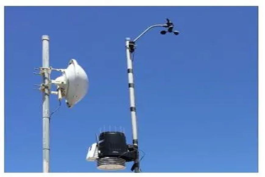
- METEOROLOGICAL INSTRUMENTS
- WATER SAMPLERS
- SALINOMETERS
Applications
- Tides and currents, as well as water quality factors such as chemical composition and salinity, are all provided by oceanographic devices.
- Oceanographic equipment may also offer information on weather, natural disasters, including typhoons, hurricanes, and tsunamis, and a variety of marine life.
- Using satellite connections and computer networks, the data acquired by these sensors may be shared with scientists all over the world.
- There are various collaborative initiatives, such as the Argo project, which shares real-time data from oceanographic devices with anybody who is interested.
Types
- Oceanographic devices provide scientists and researchers with a wealth of vital information. The devices range from basic buoys to very complicated and sensitive sensor systems that capture a body of water's unique properties.

- Turbidity meters detect the amount of solids in water, such as phytoplankton or silt, as well as dissolved particles like contaminants or chemicals.

- Fluorometers measure fluorescence, or the emission of certain wavelengths of light, to identify the presence of contaminants.

- Salinometers evaluate the salt content of water by measuring its electrical conductivity and specific gravity.
- Other oceanographic equipment monitors physical properties such as depth from the surface of the water to the ocean floor, current speed, and tide height.

- An acoustic doppler current profiler is a sonar instrument that detects and records the current velocities of water at various depths using transducers.
- These current profilers are used to identify potentially dangerous underwater tornadoes and to calculate the quantity of freshwater melting off icebergs.
- Echo sounders, which employ sound waves to estimate the distance from the surface to the sea floor, are another sonar-based oceanographic tool.
- Echo sounders are commonly used to assess the abundance of fish in a certain area of the ocean, but they may also be used for navigation.
- A multibeam echo sounder coupled to an autonomous underwater vehicle or submersible may produce high-resolution bathymetry or details of the ocean bottom itself.

- Buoys are among the most common oceanographic instruments, acting as everything from basic nautical markers and navigation aids to more complicated profiling devices.

- Profiling buoys are meant to drop beneath the surface and collect data on temperature and salinity. Profiling buoys sink at a specified pace and resurface after a certain amount of time.

- Waverider buoys are specialized oceanographic sensors that analyze surface movement to identify features such as wave height and duration.

- Tsunami buoys detect abrupt changes in ocean water pressure and are deployed in the Pacific and Indian Oceans as part of an early warning system.
- Other oceanographic equipment is used to study meteorology or climate.
- Wind speed and direction, barometric pressure, and wave height are all measured by weather buoys.
- These buoys may also be set up to send data to satellite networks, allowing meteorological institutes to create real-time forecasts and warn people of oncoming storms.