SCOPE OF COASTAL GEOMORPHOLOGY
Coastal Geomorphology: Unveiling the sculpting forces of waves, currents, and tides, shaping coastlines and sculpting diverse landforms.
SCOPE OF COASTAL GEOMORPHOLOGY
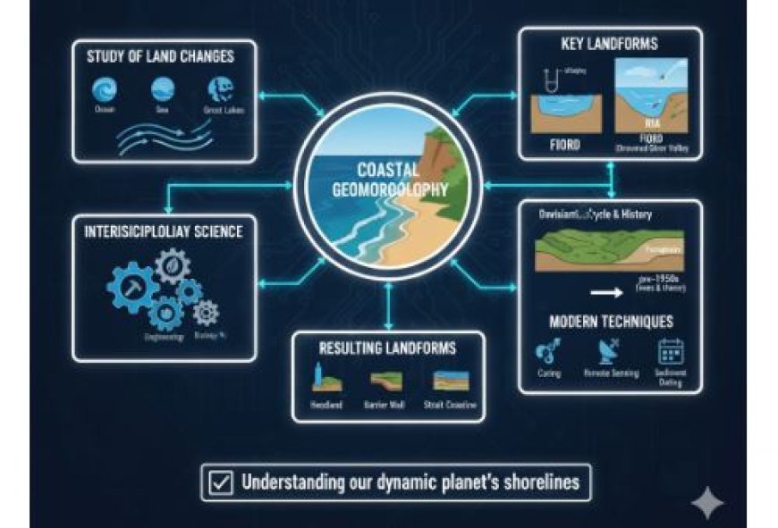
- Coastal geomorphology is a part of geomorphology that studies the land surface changes caused by large amounts of water, like oceans, seas, and lakes like the Great Lakes in North America.
- It might be best thought of as an applied science, and it has a lot in common with other applied sciences like geology, meteorology, ecology, shoreline engineering, and some parts of biology.
- Coastal geomorphology was very detailed before 1950, and a lot of it was based on ideas about the Davisian Cycle of Erosion.
- A lot of thought went into how to classify and describe the coasts based on how the sea level changed, especially how the rise in sea level during the Holocene created features like fjords (drowned glaciated valleys) and rias (drowned river valleys).
- It was seen that waves and currents trimmed headlands and built walls across bay mouths to make the shoreline straighter and easier to understand (Woodroffe, 2002).
- Because of this, coastal evolution was geared towards a simple, mostly stable balance.
- The denudation timeline was also used as a model in one area of coastal geomorphology that tried to piece together the specific geological history of coastal landscapes.
- A lot of this was based on ideas about erosion cycles and interpretations that were mostly based on landforms instead of strata.
- Several new techniques for coring and magnetic remote sensing, along with new ways to date sediments, have changed this area of coastal geomorphology and sedimentology.
What's Your Reaction?


