SATELLITE DATA INTERPRETATION
Discover the principles and techniques of satellite data interpretation, including visual and digital methods, and their applications.
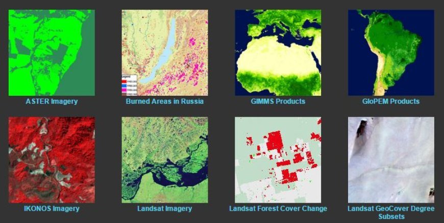
Interpretation of Satellite Data
- The perception of geographical data has been significantly altered by the advancements in satellite technology and remote sensing.
- By utilizing satellite imaging, a wide range of individuals and organizations, such as researchers, policymakers, and corporations, may examine large geographical regions and get vital data for many purposes, including agricultural and urban planning.
The importance of interpreting satellite data
The interpretation of satellite data is crucial for a wide range of applications, such as:
Environmental Monitoring
- Satellite photography serves the purpose of monitoring and documenting environmental transformations, including deforestation, urban growth, and the effects of climate change.
- Advantage: The ongoing examination of this data enables scientists to observe patterns over a period of time and make well-informed choices to tackle and reduce environmental deterioration.
Agricultural Management
- Objective: Satellite data aids farmers and agronomists in the surveillance of crop vitality, soil moisture levels, and land utilization patterns.
- Advantage: Utilizing tools like the Normalized Difference vegetative Index (NDVI) enables thorough assessments of vegetative well-being, resulting in enhanced resource administration and precise production forecasts.
Disaster Management
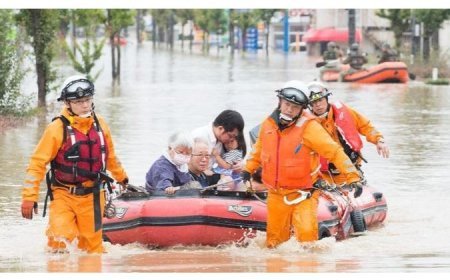
- Following a disaster, satellite imagery plays a crucial role in response strategies by providing essential information for damage assessment and monitoring of impacted regions.
- Advantage: This data aids in strategizing recovery initiatives by visually representing alterations in land utilization prior to and following a catastrophe.
Essential Methods for Analyzing Satellite Data
- Interpreting satellite imagery entails employing many methodologies to enhance comprehension of the aspects depicted in the data:
- Image classification is a method that assigns pixels in satellite images to certain categories based on their spectral characteristics.
- Supervised classification is a process that involves the identification of certain classes using training samples.
- The algorithm then uses this information to classify the remaining pixels accordingly.
- Unsupervised classification is a method that categorizes pixels into clusters based on their statistical similarities, without the need for prior training. This approach allows for the analysis of unknown data structures.
- Change detection is a method that assesses discrepancies between satellite photos taken at various points in time.
- Application: It is essential for evaluating alterations in land cover, expansion of urban areas, and variations in the environment. Multi-temporal analysis enables stakeholders and academics to see patterns throughout time and make well-informed decisions.
- Thematic mapping is the process of generating maps using satellite data to display spatial patterns and relationships.
- These maps incorporate many data layers, including plant kinds, urban infrastructure, and geography, allowing for more comprehensive and nuanced assessments.
Difficulties in the interpretation of satellite data
- Although satellite data provides notable benefits, its interpretation poses many difficulties:
- Data Quality and Resolution Issue: The accuracy and level of detail of satellite data can be influenced by factors such as the calibration of the sensors and the surrounding environmental conditions.
- High-resolution imaging, although it offers greater information, can also generate substantial amounts of data that may be challenging to evaluate.
Requirements for processing and analyzing data
- Problem: Efficient analysis of satellite data necessitates significant processing resources and specialized technical knowledge.
- Proficiency in utilizing diverse software tools and algorithms is essential for extracting significant insights, underscoring the need for advanced skill enhancement in this domain.
Data integration with other data sources
- Problem: The accurate alignment of satellite data with ground-based observations and other Geographic Information Systems (GIS) is necessary to provide analytical precision.
- When there is misalignment, it can cause insights to become skewed, which has the potential to mislead users and stakeholders.
What's Your Reaction?


