ARID CYCLE OF EROSION
Arid Erosion: Rains Wash Away, Wind Sculpts the Land. Uncover the Unique Landscape Formation in Dry Climates.
1. Initial Stage
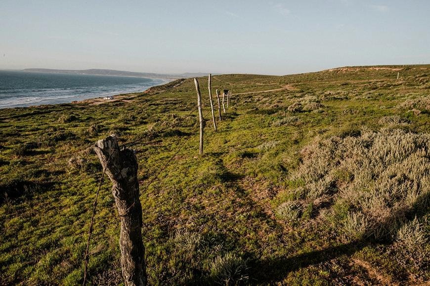
- During the first stage of the arid cycle of mountain-grit desert erosion, the climate is very dry (less than 25 cm of rain a year on average), deserts rise up by folding or faulting, intermountain basins form, inland and centripetal drainage starts, and so on.
- Initially, the intermontane basins (of tectonic origin) had their own drainage system, with no drainage communication between them.
- The centers of isolated intermontane basins become erosional base levels.
- Evaporation is a very dynamic process. The playa is produced as a result of water buildup in the basins' centers.
- The vast majority of streams are tributary and drain into the enclosed basins.
- The erosion cycle begins with the decline of mountains and the filling (by sedimentation) of basins.
2. Youth Stage
- Because erosion and deposition occur in tandem, the early reliefs are progressively eroded owing to mountain erosion and basin filling.
- Because of backwasting and downwasting, the water divides steadily narrower and lower.
- The lower areas of hillslopes are more strongly eroded by rill and gully erosion caused by rainstorms.
- There are definitely two zones of geomorphic significance
- the degradation zone on higher lands, and
- the aggravation zone (of the basins).
- Alluvial fans form on the edges of the enclosed basins. Bajadas form as a consequence of the confluence of several alluvial fans.
- Wind deflation occurs when there are loose sands present.
- Deflation causes smaller depressions, known as blowouts.
- A playa lake forms at the basin's core.
- Sand dunes grow here and there along the playa's edges.
- By the conclusion of the young period, relief had considerably decreased.
3. Maturity Stage
- Relief is gradually diminishing owing to the slow erosion of mountain divides and the filling of enclosed basins.
- The progressive retreat of water increases the size of enclosed basins.
- The level of these basins rises due to gradual sedimentation. Upslope, the bajadas become progressively richer, enlarged, and extended.
- Extensive rock-cut pediments occur between retreating mountain fronts and the bajada zone.
- Mountain divisions are being breached as a result of their gradual decline. This strategy results in basin and drainage system integration.
- As streams that have crossed the divides between them drain water from the higher basins into the lower basins, the latter become tributaries to the former.
- Sand deflation becomes more vigorous. This method produces bare surfaces, such as desert pavements.
4. Old Stage
- All of the highlands have been reduced to an almost flat landscape with relatively low heights.
- Several surviving hills rise above the flat desert landscape.
- These tiny hills, known as inselbergs or bornhardts, resemble islands in vast deserts.
- Wind-driven sand deflation is the most active.
- Several pediments unite to generate enormous pediplains.
What's Your Reaction?


